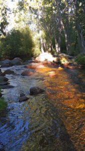
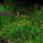
The trail meanders along the south side of the East Fork of the Kaweah River through green high country meadows brimming with wildflowers, willows, and aspens. The destination is history.
By Sarah Elliott, 14 April 2019, 3RNews
This article was originally published July 5, 1996, in The Kaweah Commonwealth newspaper’s Hiking the Parks series.
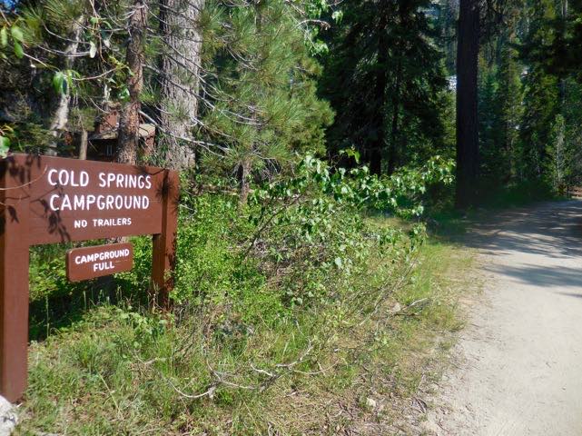
The Nature Trail is a mile, mile-and-a-half, easy trail that takes hikers of all levels from Cold Springs Campground to the road’s end at the east end of the Mineral King Valley.
The Nature Trail, also known as the Iron Springs Trail, is an interpretive trail that offers first-time Mineral King visitors the perfect opportunity to familiarize themselves with this high country valley. It is the only trail in Mineral King that has relatively little elevation gain; about 300 feet.
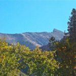
Mineral King is an average of 7,800 feet in elevation. The lowest pass out of the valley is Timber Gap, 9,450 feet in elevation, and the highest is Franklin Pass at 11,760 feet.
If planning to hike up and out of Mineral King’s V-shaped valley, use the Nature Trail as a warm-up to acclimate to the thinner air. This will help avoid any altitude-related maladies that may occur in the backcountry.
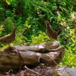
Children love the Nature Trail. The interpretive signs during the first half of the walk explain the plants and trees. They even guide visitors to an old prospect hole left over from the Mineral King mining heyday of the 1870s. [2019 update: The interpretive signs have been removed.]
If staying at Cold Springs, look for the trail at the east end of the campground near the river. The trail meanders along the south side of the East Fork of the Kaweah River through green high country meadows brimming with wildflowers, willows, and aspens.
If traveling at a leisurely pace, there are plenty of fishing holes and picnic spots in which to spend a relaxing afternoon. Currently, the river is still extremely swift, however, and will remain icy cold all season, so use extreme caution when activities take you near the water.
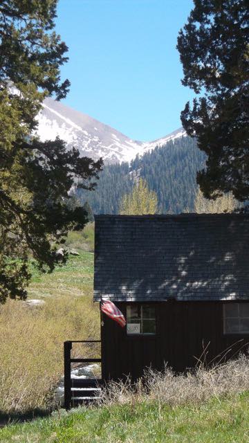
The trail skirts the old Sunny Point Campground, a group of walk-in campsites that has now been returned to a more natural setting. It ends just past this site at the historic main street of Beulah, also built during the 1870s mining era. Cabins from the turn-of-the-century still line the road at trail’s end.

For a fitting end to this interpretive jaunt, visit the “Honeymoon Cabin” at the east end of the parking lot that serves as the trailhead for Eagle and Mosquito Lakes and White Chief Bowl. This cabin, built in the 1920s, was restored y the Mineral King Preservation Society, a grass roots organization dedicated to preserving Mineral King’s community history. The cabin is open to the public on most weekends during the summer season. Don’t forget to sign the guest book!
Hikers can return to their starting point by taking the Nature Trail or the Mineral King Road. The Nature Trail may be shorter by 2/10s of a mile or so, but either way it’s all downhill.